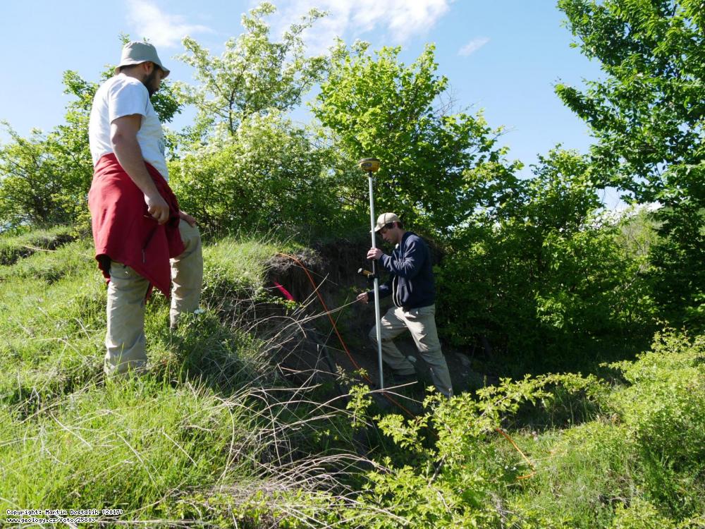
Foto: training of Georgian geologists in the use of GNSS to target landslides in the Georgian village of Bazaleti

training of Georgian geologists in the use of GNSS in ERT profiles and main indicators of landslides in the Georgian village of Bazaleti | Dostalík, Martin | 2017
Base information
Photo localization
WGS84:
42.081781176,
44.6537817425
|
Photo linksTask© Photo: Martin Dostalík, 2017Autorská práva k tomuto snímku nevlastní Česká geologická služba. Cite of the archive photo No: 25803DOSTALÍK, M. (2017): Foto - training of Georgian geologists in the use of GNSS to target landslides in the Georgian village of Bazaleti.
In: Fotoarchiv České geologické služby [online databáze]. Praha, Česká geologická služba [cit. 2024-04-26].
Dostupné z URL http://www.geology.cz/foto/25803
|