Photos: year: 2008

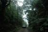
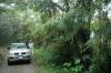
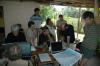

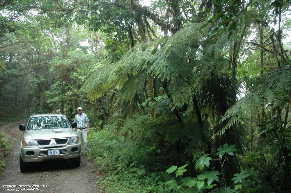
Foto: Geological mapping in the mountains in the remains of a cloud forest near La Paz west from the town of San Ramón.

Geological mapping in the mountains in the remains of a cloud forest near La Paz west from the town of San Ramón. Deeply lateritized andesite predominates. We drove all the way to the rainforest to the Finn Los Alpes at 1450, then the road is impassable. It rains all day, it is cold, heavy fog and strong wind blows. | Žáček, Vladimír | 2008
Base information
Photo localization
WGS84:
10.1759261884,
-84.5516167991
|
Photo linksThemeRock© Photo: Vladimír Žáček, 2008Autorská práva k tomuto snímku nevlastní Česká geologická služba. Cite of the archive photo No: 30048ŽÁČEK, V. (2008): Foto - Geological mapping in the mountains in the remains of a cloud forest near La Paz west from the town of San Ramón..
In: Fotoarchiv České geologické služby [online databáze]. Praha, Česká geologická služba [cit. 2024-04-28].
Dostupné z URL http://www.geology.cz/foto/30048
|